
West Springfield Neighbors by Block
A block-level search is strongest when it separates geography from identity. West Springfield’s town GIS supplies parcel outlines, roads, buildings, address points, zoning, wetlands, flood areas, historic districts, school districts, voting districts, and other overlays. The assessor’s public information can add the parcel identifier, assessment fields, mailing label, and Registry reference. Those fields do not produce a complete list of people at an address.
| Source | What It Shows About a Block | Access |
|---|---|---|
| Town parcel basemap | Parcels, roads, buildings, old lines, rights of way, and driveways | Public West Springfield GIS and Open Data map |
| Parcel ownership layer | Public owner or mailing fields, map-block-lot, Registry reference, values, use, and zoning | ArcGIS query layer with pagination and record limits |
| Voting and precinct layers | District geography, population context, and precinct boundaries | Public map layers; no individual-voter results |
| Permit and OpenGov layers | Project, permit type, status, work description, and dates where published | Town map service and department route |
| Community institutions | Historical, library, and civic context for a place over time | Organization pages and dated collections |
The useful question is what surrounds a parcel and which public source supports that observation. An owner mailing field may point elsewhere, and a map cannot establish a complete set of occupants. Treat a block map as a dated geographic snapshot.
West Springfield Neighbors in GIS
The municipal West Springfield Open Data portal and parcel map make the local spatial method possible. Start with a PIN or street address, display parcel and address layers, then identify surrounding polygon IDs and street frontage. Before calling a polygon a neighbor, check whether it is a separate lot, condominium unit, town-owned parcel, old mapping line, utility space, right of way, or nonbuildable land.
The town GIS image shows the type of layer-based context used for West Springfield neighbors. Open the parcel-basemap service behind this image.
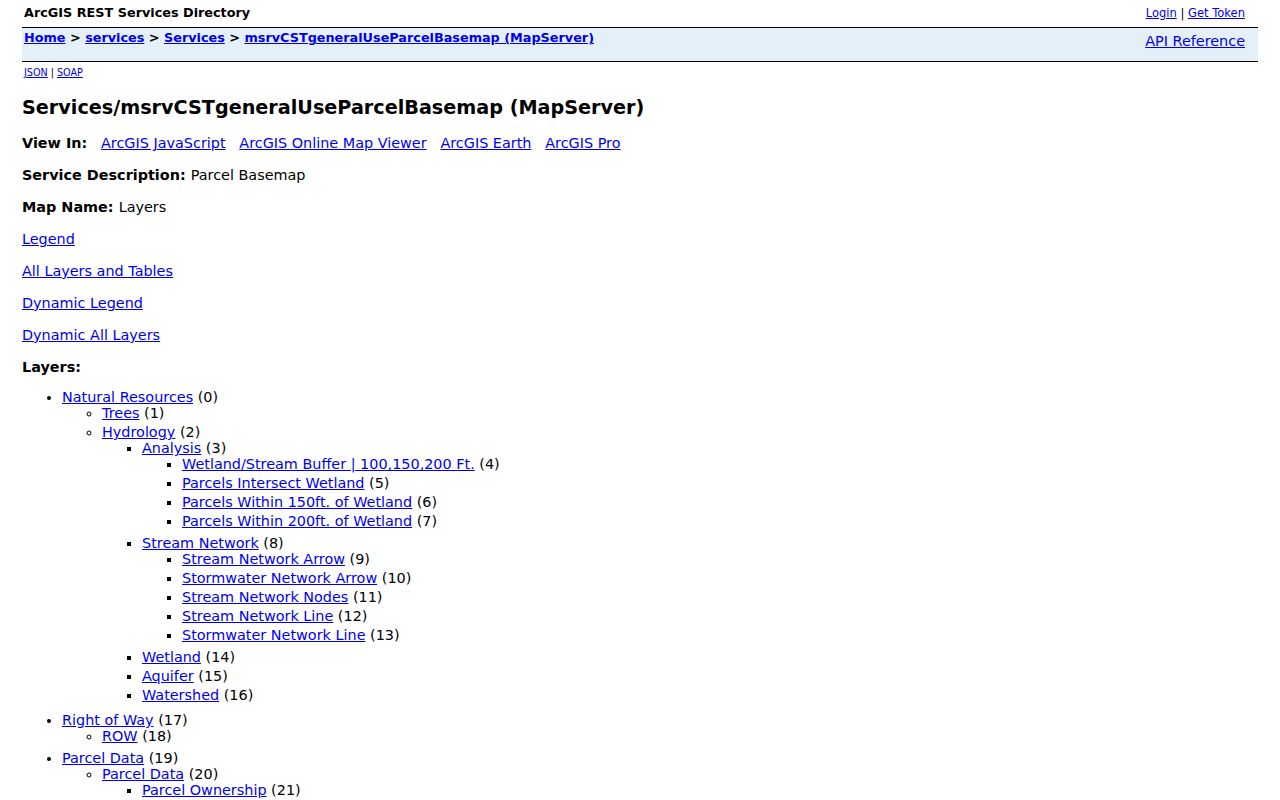
Use the visible layer names, map extent, and query date with any notes. ArcGIS responses can have a 1,000-record limit, so a broad export is not the same thing as a certified municipal dataset.
Turn on only the overlays that answer the block question. Zoning, historic-district, FEMA flood, wetlands, school-district, and voting-district layers describe different geographies. None is a substitute for a survey or for title research at the Hampden County Registry of Deeds.
Map a West Springfield Neighbor Block
The adjacent-parcel method starts with place and then moves outward. The assessment owner name, a GIS owner field, and a deed party mean different things. Keep the result labeled by source and date. The Registry controls legal land records, and the town’s map boundaries are informational rather than authoritative.
- Find the focal parcel through its address or PIN, then note the parcel identifier and date of the map.
- Display parcels and address points around it. Mark which surrounding polygons share a line, frontage, or only a corner.
- Open public parcel fields only as needed for map-block-lot, Registry book and page, assessed value, zoning, or mailing context. Preserve the layer name and query conditions.
- Follow a Registry reference through the Hampden County Registry of Deeds when a legal transfer needs confirmation. Use a surveyor for a boundary question.
For a named street’s full record chain, use the West Springfield streets directory. The immediate parcel comparison stays more accurate when it does not try to rebuild every address on a road.
- Parcel
- A mapped unit of land used for assessment and GIS reference. It can differ from a legal title description or a structure’s unit layout.
- Situs address
- The physical location assigned to a parcel. It can differ from the tax mailing address.
- Registry book and page
- A reference that leads from a town parcel field to the recorded document at the Registry of Deeds.
West Springfield Neighbors and Voting Geography
West Springfield has eight precincts, and the state’s 2021 precinct map provides boundaries and 2020 population by precinct. The municipal voting-district layer can show district, name, members, population, ideal value, and deviation fields. That is useful geographic context for a block, but it is not an individual-voter layer.
The Massachusetts voter status form requires a person’s first name, last name, date of birth, residential ZIP, and agreement. It returns status, polling place, and officials, not a reverse address search. A municipal voter file is a separate Town Clerk and Board of Registrars route with public fields and list-date conditions. Protected voters may be excluded, and the statewide voter file is not public.
Note: A polling place or precinct is a time-sensitive election boundary, not a statement about all West Springfield neighbors at a location.
Permit Context for West Springfield Neighbors
Permit layers add an activity record, not a personal profile. The town’s building and OpenGov services can expose a project, permit type, status, applicant or contractor role, work description, cost, and issue or completion date where a layer publishes those fields. Do not treat an applicant or contractor as a resident, owner, or title holder. Use the public fields only to understand a project’s geographic context.
The town OpenGov service pictured here combines permit-related map context with parcel and address layers. Inspect the West Springfield OpenGov map service.
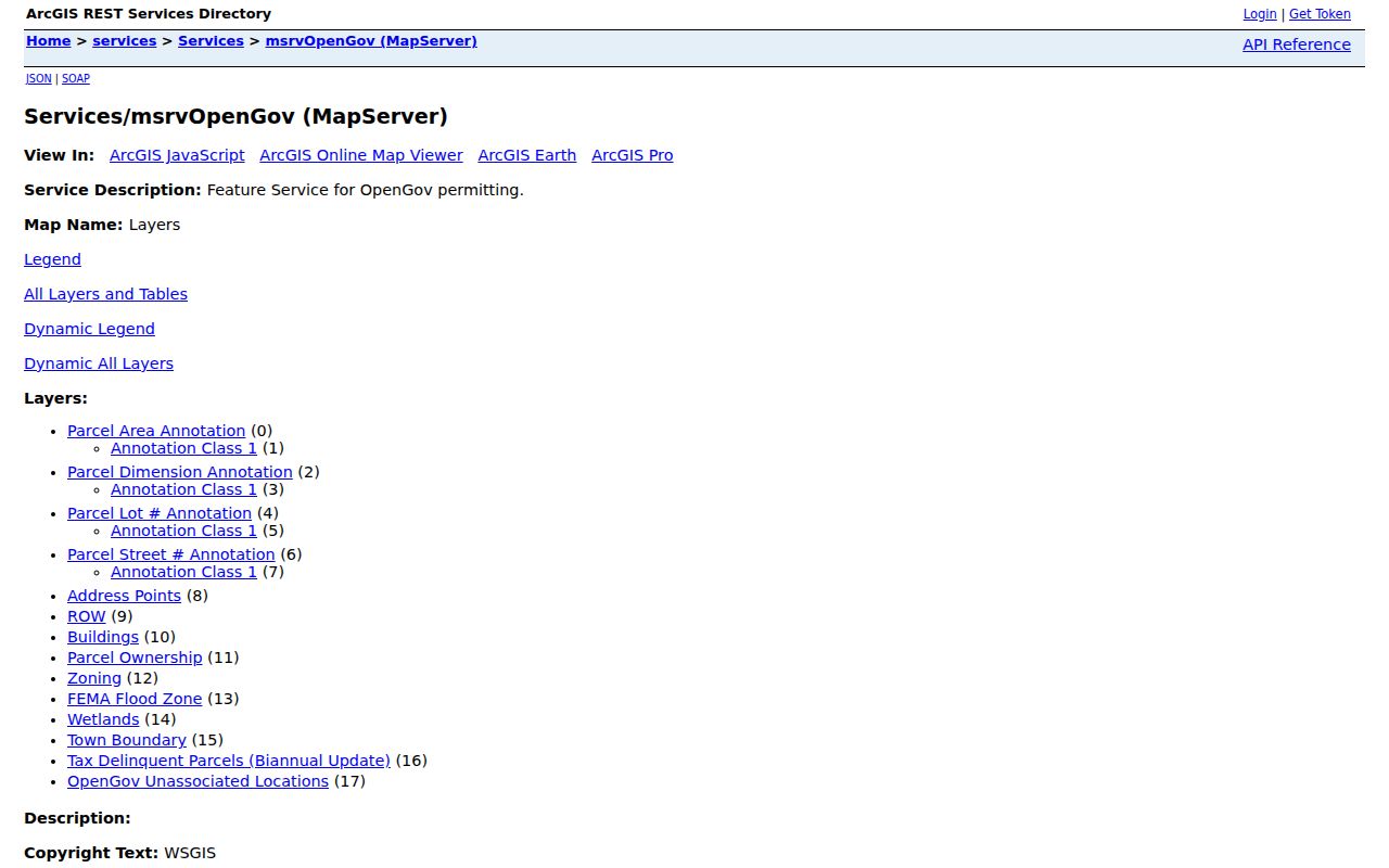
Record the permit number, map layer, date, and stated status instead of inferring what happened on a parcel from a map symbol alone. For a specific existing municipal record, a narrow public-records request can name the permit and date range.
West Springfield Neighbor Community Anchors
No authoritative current townwide neighborhood-association roster was verified. The practical alternative is a set of stable local institutions that can provide historic, civic, or geographic context without claiming to list the members of a block. Springfield neighborhood councils should not be relabeled as West Springfield organizations, since they are across the river in a separate municipality.
Historical Commission
The Town body for local heritage and historic-district context.
West Springfield Historical Commission
Ramapogue Historical Society
Operates the appointment-only Josiah Day House at 70 Park Street.
West Springfield Public Library
Bertera History Room holdings include directories, maps, reports, and newspapers.
West of the River Chamber
A dated civic-network directory, not a current neighborhood roster.
The Historical Commission page is an official local anchor for West Springfield neighbors seeking place history. See the commission source shown in this image.
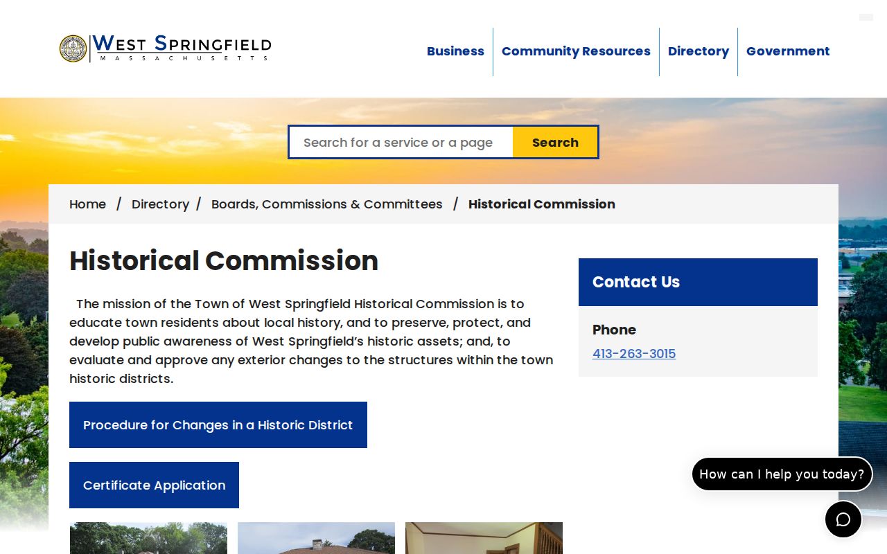
Historic material can clarify a place name, district, bridge, road, or institution, but it should not be used to invent a modern neighborhood boundary.
The town’s directory helps identify public departments, boards, and commissions that maintain local services. Open the municipal directory behind this image.
Use those public contacts for the office responsible for a named map layer or record, not as a shortcut to private household information.
West Springfield Neighbor Source Comparison
Official records and commercial neighbor tools solve different problems. A map layer has a named custodian, fields, date, and geographic scope. A Registry document has a recording reference and legal purpose. Commercial tools can combine public filings, marketing data, address histories, and inferred relationships, but their coverage, timing, matching, and correction practices vary. Neither category establishes every current person connected with a block.
| Record approach | Useful strength | Critical limit |
|---|---|---|
| Town GIS and AxisGIS | Parcel context, stated fields, and visible map layers | Informational mapping is not a legal boundary or complete occupancy record |
| Registry and clerk records | Named custodian, document identifier, and controlled copy route | Each document proves only its stated event or role |
| Commercial compiled tools | May surface leads from many data sources | Can be stale, mismatched, inferred, or incomplete |
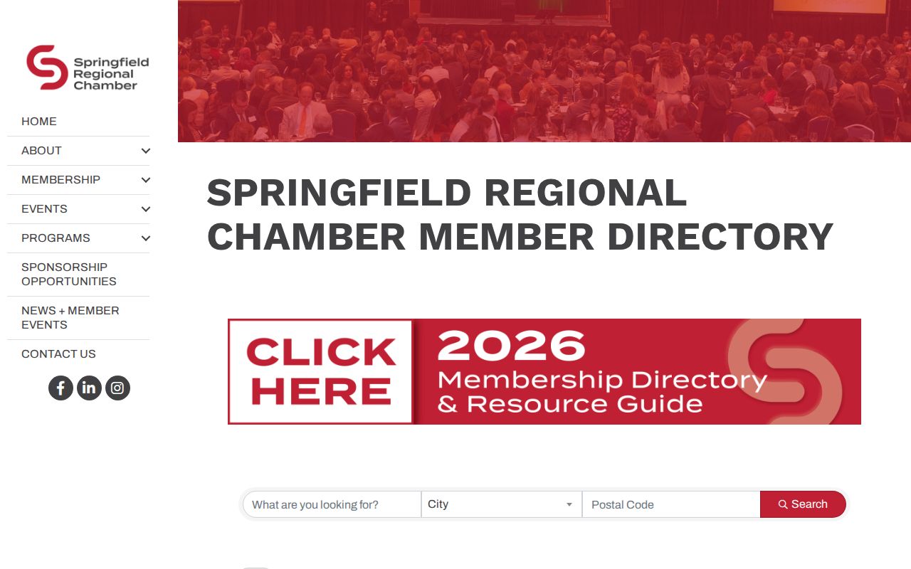
The Chamber’s dated directory is another form of context, not a member roster for West Springfield neighbors today. Review the Chamber directory source shown here.
Date any civic-directory reference and confirm current status with the organization before relying on it for present community information.
West Springfield Neighbor Privacy Limits
Massachusetts Public Records Law, G.L. c.66 §10, gives a route to existing municipal records subject to exemptions, but it does not require the town to create a new block roster. A request should identify a specific permit file, meeting record, or allowed municipal voter list, not ask for every person at an address. Public records must be handled with minimum necessary disclosure.
Protected voters, Address Confidentiality Program participants, children, guests, and people outside a particular record system will not appear as a complete block. Utility customer names, delivery-route data, and private membership lists are not furnished by the parcel map. The individual voter form cannot be used for reverse searches by address.
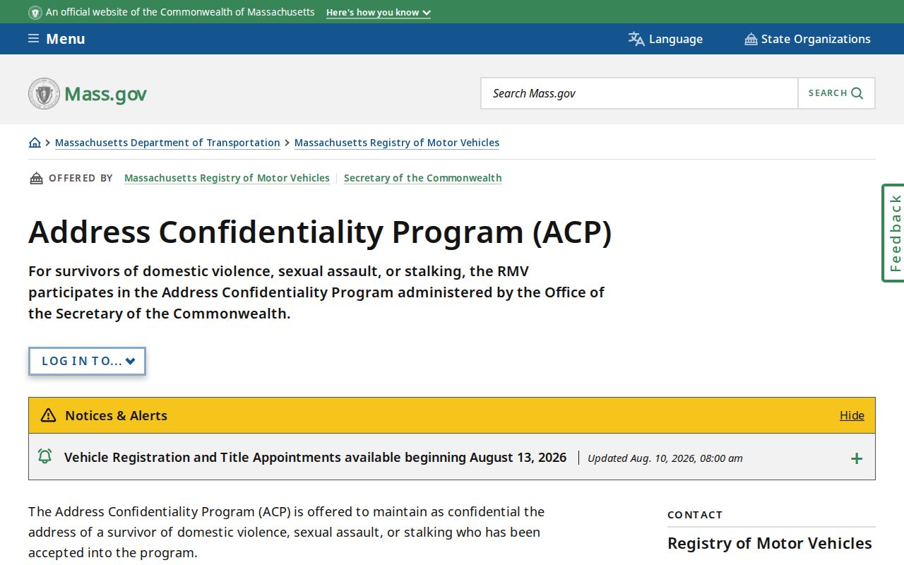
The Commonwealth’s confidentiality guidance explains why some addresses and records must remain protected. Read the Address Confidentiality Program source shown in this image.
Use a redacted sample, aggregate geography, or field description when explaining a source. Do not repeat personal details merely because an official system displays them.
Lawful use. West Springfield neighbor records are for lawful personal research and geographic context. Do not use any record to stalk, harass, intimidate, or harm another person.
West Springfield Neighbor Geography Over Time
Today’s parcel map is only one time layer. West Springfield separated from Springfield in 1774 and received a tract from Westfield in 1802. A ZIP, school district, voting district, historic district, and municipal parcel can each describe a different boundary. The town became a city in 2000 but many records retain Town of West Springfield wording.
Compare a current parcel and road layer with the 1795 plan or 1831 J. Lathrop plans when a historic address looks unfamiliar. Library directories, Town Reports from 1860-1983, and Bertera maps can supply dates for the paper trail. Label the layer and date before treating two old place names as the same location. That is the safest way to make a block comparison across generations.