
West Springfield ZIP Code Coverage
The confirmed postal starting point is 01089. The official USPS location page identifies it for West Springfield, but a ZIP label is delivery geography, not a municipal border. Use it to validate an address and to keep a postal record organized. Use the assessor, Registry, Town Clerk, or other custodian when the question is about a municipality, title, a dated public record, or a person’s record status.
| ZIP | Areas Covered | Post Office | Notes |
|---|---|---|---|
| 01089 | West Springfield postal location confirmed by USPS | West Springfield Post Office, 74 Elm St | USPS delivery geography, not a legal town boundary |
No additional ZIP serving a West Springfield municipal address was verified from an authoritative USPS location page in this research. Nearby rows in postal sorting material are not proof of town coverage. No official local ZIP split, realignment, street-by-street exception list, PO-box-only ZIP, or unique institution ZIP was located either. Those gaps should remain visible until USPS or another controlling source confirms them.
USPS’s West Springfield location page is the source for the confirmed 01089 postal location.
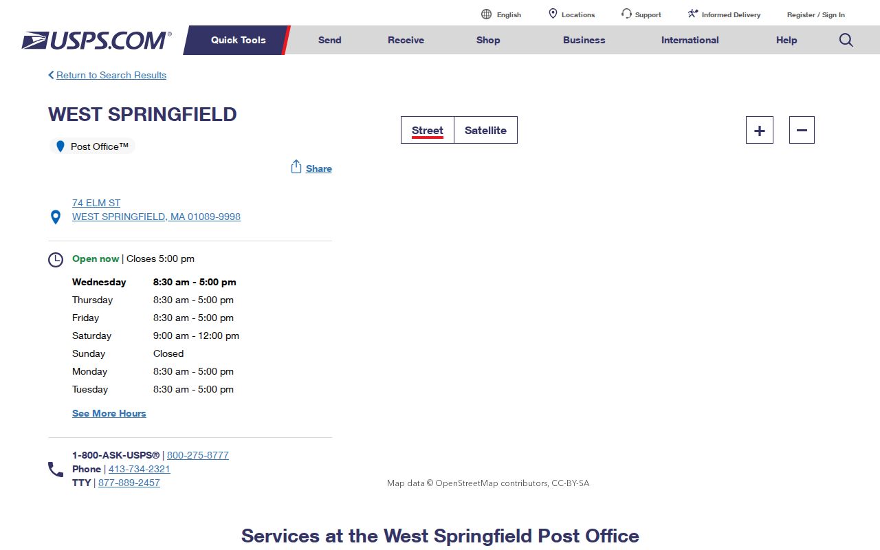
The USPS location view supports the single verified ZIP entry without suggesting that its delivery area is a legal municipal outline.
Postal Route in West Springfield
The official listing gives the West Springfield Post Office address as 74 Elm St, West Springfield MA 01089-9998, with phone 413-734-2321. The research recorded listed counter hours of Monday through Friday 8:30 to 5, Saturday 9 to noon, and Sunday closed, with service-specific differences. Check the live USPS page before relying on a visit because hours and available services can change.
A postal location is a useful contact point for address and service questions, but it is not a source for a list of people. Keep the request narrow: validate an address, check the accepted city name, or ask about postal service. A record that needs a municipal answer should go to the correct local or county custodian instead.
Note: Use the USPS location page for current postal details and the Town of West Springfield for a municipal record question.
West Springfield ZIP Code Checks
USPS ZIP Code Lookup by Address is the verified address-validation route. The live form may require JavaScript, and its practical workflow is an exact street, city, and state entry. Use a blank form or your own address query, not a copied private address. The result can confirm a mailing format and ZIP. It does not supply a municipal property record or a directory of people.
| Street address | Use the exact address being validated, including an apartment or unit only when needed for mail delivery. |
|---|---|
| City | Enter the postal city supplied for the address rather than assuming a town label from a map. |
| State | Massachusetts is required with the address workflow described in the research. |
| ZIP result | Keep it as a postal result, then compare it with a municipal or parcel source if needed. |
Do not infer an acceptable city-name alias from a map polygon. Validate the particular address through USPS. A returned label such as Springfield, W Springfield, or West Springfield must be read with the street, date, and source context before it is matched to a town record.
The blank USPS address lookup shows the official validation route used for a West Springfield ZIP code check.
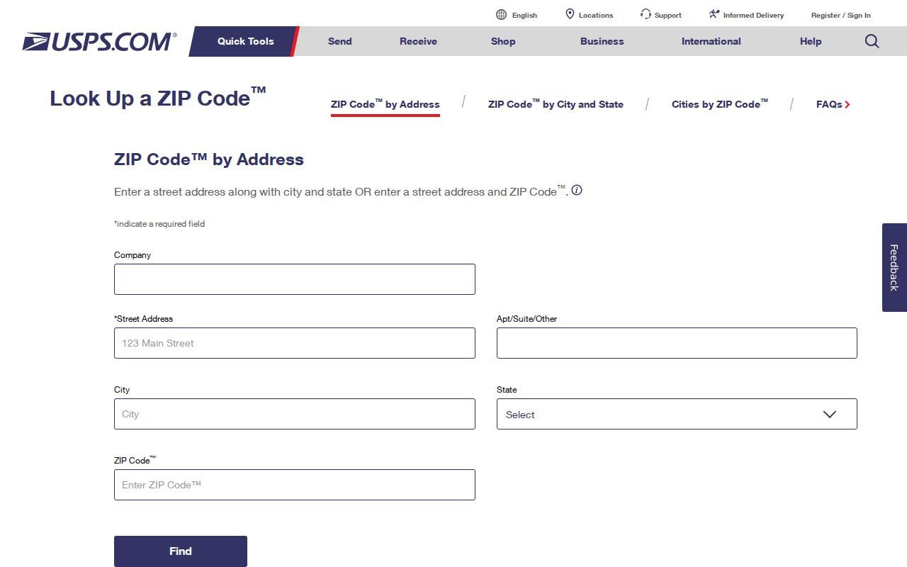
The blank form illustrates validation fields without displaying a submitted West Springfield address.
Postal Geography in West Springfield
USPS explains that ZIP Codes serve post offices, delivery units, and carrier routes. It does not maintain an official ZIP boundary map. MassGIS ZIP polygon data can help visualize broad postal geography, but it is a mapping product. It cannot prove that every address within a shape uses the same postal city, and it cannot define the town line.
This is especially important in the Springfield regional area. A postal city string, a legal municipality, a county reference, and a ZIP are separate fields. A parcel can be legally within West Springfield while a regional institution uses a Springfield mailing address. Conversely, a ZIP result may point to delivery geography without telling the researcher which municipal office owns the record.
The MassGIS ZIP polygon data page explains the mapped ZIP layer and its delivery-geography limitation.
The polygon view is a planning aid for postal geography, not a substitute for USPS validation or a West Springfield boundary record.
West Springfield ZIP Code Search Steps
No West Springfield portal was verified as accepting ZIP as a current, townwide filter for parcels or voters. That negative result changes the search method. Begin with USPS validation, then use the resulting mailing format to find the correct municipal parcel or record route. The Massachusetts voter status lookup uses a ZIP as part of an individual query, but it also requires first name, last name, date of birth, and an agreement checkbox. It is not a reverse ZIP search and does not produce a household list.
- Validate the exact mailing address through USPS and retain the returned ZIP and city form.
- Use the West Springfield municipality and street address in the West Springfield AxisGIS Property Viewer when a parcel context is needed.
- Compare the parcel’s situs, mailing, and registry reference rather than treating them as one field.
- Use the Massachusetts voter status search only for an individual’s lawful status query with all required fields.
- Request an existing municipal voter record from the Town Clerk or Board of Registrars when the law allows, rather than asking for a ZIP-wide resident compilation.
Once a postal area has been narrowed to a street, the address-keyed process belongs on the West Springfield streets page. ZIP validation does not replace street, parcel, deed, or historical-directory research.
West Springfield Parcel and Postal Records
For a property question, preserve three different address forms. The situs address is where the parcel is located. The owner mailing address is where assessment notices may go. The legal description is the land wording used for title. USPS validates the mailing form; West Springfield AxisGIS and local GIS supply municipal parcel context; the Hampden County Registry of Deeds is the route for legal transfers and recorded plans.
The local PIN pattern is shown as 000-00000-00-000. GIS records can also carry Map, Block, Lot, PropertyID, RegistryBook, and RegistryPage fields. These identifiers help connect a posted address to a parcel and then to a deed. They do not replace a legal description, and an assessor owner entry should not be treated as a current deed finding until the Registry record is checked.
AxisGIS has an agreement splash and informational data disclaimer. ArcGIS services can expose query endpoints and pagination limits. The Registry’s older deed path can require a scanned Grantor/Grantee index followed by manual book and page review. Each system therefore answers a different part of a West Springfield ZIP code research question.
The MassGIS Interactive Property Map page provides a statewide parcel cross-check and repeats that municipal assessor data controls the latest local parcel information.
The statewide property map can compare parcel context across a ZIP area, but West Springfield assessor data remains the local reference point.
Postal Field Meanings
Postal terms are easy to overread when they sit beside town records. A ZIP result tells a delivery-routing story. A parcel field tells an assessor or GIS story. A deed image tells a title story. Keeping those labels separate avoids turning a correct address form into an unsupported conclusion about municipality, ownership, or occupancy.
- ZIP Code
- A Postal Service routing code tied to delivery geography, not a legal municipal boundary.
- ZIP+4
- An added delivery segment used to refine mail routing within a base ZIP Code.
- PO-box ZIP
- A ZIP assigned to post-office box service; none was verified for West Springfield in this research.
- Unique ZIP
- A ZIP used for one institution or large receiver; none was verified for West Springfield in this research.
- Carrier route
- A delivery route within the postal system, not a neighborhood or town boundary.
USPS ZIP Code Basics explains why ZIPs follow postal operations rather than municipal lines.
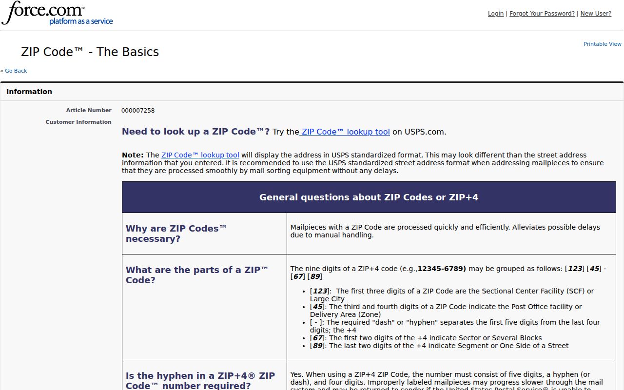
The USPS guidance reinforces the distinction between a postal code and a West Springfield jurisdictional boundary.
West Springfield Postal Research Gaps
The research did not verify a complete postal-city alias list, street-level ZIP exceptions, a ZIP split date, a realignment year, a PO-box-only ZIP, a unique ZIP, an E911 addressing authority, or a local official street-renaming index. It also did not verify that AxisGIS, the local voter-file request route, or a GIS interface accepts ZIP as a full search filter. Those are genuine limits, not blanks to fill from an unofficial directory.
When an address mismatch matters, ask the West Springfield GIS, Assessors, or Town Clerk to route the question to the right municipal office. For a known record not already indexed, a narrow written request may be made under the Massachusetts Public Records Law, G.L. c.66 §10. Name the department, date range, address or subject, and record type. Written requests are preferred, and the normal response framework is ten business days subject to statutory exemptions and permitted fees.
Note: Record the USPS query date and the source used whenever a postal label and municipal record do not agree.